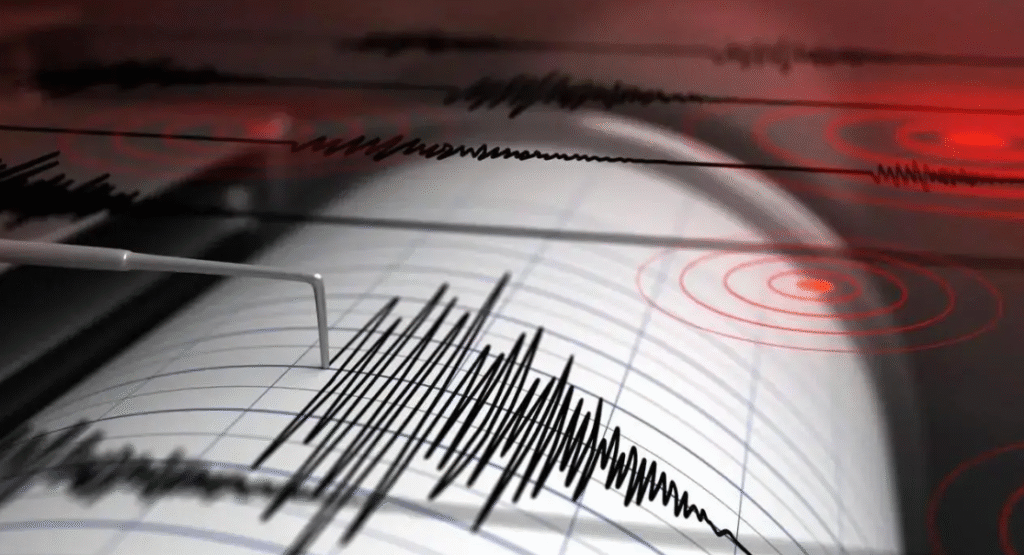
Early Monday morning, a magnitude 4.6 earthquake struck Tajikistan, shaking the mountainous region. The National Center for Seismology recorded the quake at 4:43 AM IST 21 July 2025, locating its epicenter at latitude 37.39° N and longitude 72.58° E, with a shallow depth of 23 kilometers, which raises concerns about stronger shaking and possible aftershocks.
Repeated Tremors Raise Alarm in a Seismically Active Region
This latest quake is not an isolated incident. It marks the fifth seismic event in the region since July 12, pointing to a phase of increased tectonic activity.

Just two days before that, on July 18, a 3.8 magnitude tremor hit at a shallow depth of only 10 km. The sequence began with two noticeable earthquakes on July 12 one measuring 4.2 and the other 4.8 in magnitude originating from depths between 60 km and 107 km.
This succession of tremors has raised concerns among scientists and disaster response authorities. While none of these individual quakes caused large-scale destruction, their frequent occurrence within a short time span could indicate ongoing stress between tectonic plates.
The shallow nature of the most recent earthquake only intensifies the risks, as it can result in stronger surface shaking and greater potential for damage.
Tajikistan’s Vulnerability to Natural Hazards
Tajikistan is situated in one of the most earthquake-prone areas in the world. The World Bank has highlighted that more than half of the country lies in zones that are capable of experiencing 8 to 9 magnitude earthquakes.
Beyond earthquakes, the region is also prone to floods, avalanches, droughts, and mudslides due to its mountainous geography and variable climate.

This geographic vulnerability, combined with the country’s economic dependency on sensitive sectors like energy and agriculture, creates a complex disaster risk profile. Preparedness, early warning systems, and community awareness are essential to reduce the impact of these natural hazards.
Tajikistan’s seismic history and current activity serve as a stark reminder of the importance of constant monitoring, resilient infrastructure, and informed communities. While the recent quakes may not have caused visible damage, they reinforce the urgent need for preparedness in a region where nature’s power is both unpredictable and potentially devastating.
Monitoring and Community Preparedness
Authorities have responded to the recent quake by increasing surveillance of seismic activity in the region. The NCS and other geological agencies have assured that they are closely monitoring tectonic movements and are prepared to issue alerts in case of further activity.
Local officials are also inspecting public infrastructure, including bridges, roads, and energy facilities, to check for hidden damages and strengthen any weak spots.
Authorities urge people in earthquake-prone areas to prepare emergency kits, plan safe evacuation routes, and avoid landslide-prone areas during and after a quake. Public awareness campaigns play a critical role in helping communities understand the risks and take timely precautions.

